
SLIDE 1
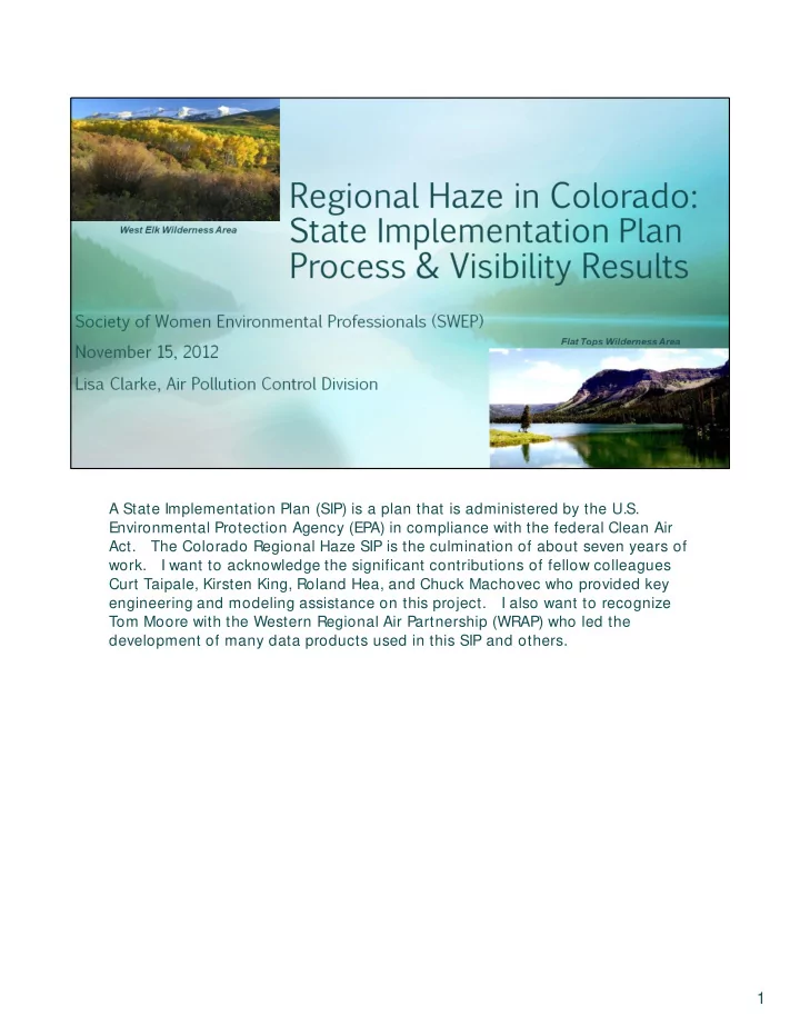
A State Implementation Plan (SIP) is a plan that is administered by the U.S. Environmental Protection Agency (EPA) in compliance with the federal Clean Air
- Act. The
Colorado Regional Haze SIP is the culmination
- f
about seven years
- f
- work. I
want to acknowledge the significant contributions
- f
fellow colleagues Curt Taipale, Kirsten King, Roland Hea, and Chuck Machovec who provided key engineering and modeling assistance
- n
this
- project. I