
SLIDE 1
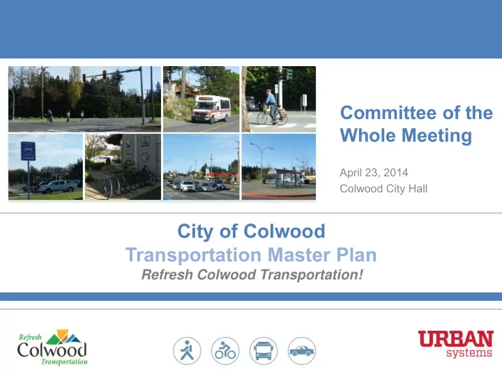
Committee of the Whole Meeting
April 23, 2014 Colwood City Hall
City of Colwood Transportation Master Plan
Refresh Colwood Transportation!
City of Colwood Transportation Master Plan Refresh Colwood - - PowerPoint PPT Presentation
Committee of the Whole Meeting April 23, 2014 Colwood City Hall City of Colwood Transportation Master Plan Refresh Colwood Transportation! Meeting Purpose Present preliminary directions for the Transportation Master Plan based on public
Committee of the Whole Meeting
April 23, 2014 Colwood City Hall
City of Colwood Transportation Master Plan
Refresh Colwood Transportation!
SLIDE 2
Transportation Master Plan based on public input and technical analysis completed to date.
conduct more detailed technical analysis for preferred options.
consultation
SLIDE 3
1. Study Context 2. Summary of Public Input 3. Preliminary Directions 4. Preliminary Directions – Street Design
SLIDE 4
SLIDE 5
awareness
concerns and aspirations
vision, goals and targets for transportation in Colwood
conditions for walking, cycling, transit and automobile use
to achieve goals and targets
projections
each mode
plans
projects
SLIDE 6
awareness
concerns and aspirations
vision, goals and targets for transportation in Colwood
conditions for walking, cycling, transit and automobile use
to achieve goals and targets
projections
each mode
plans
projects
We are here
SLIDE 7
purposes
What will be included in the plan?
SLIDE 8
Stakeholder Advisory Committee Public Workshops Speaker Series Council Committee Meetings Website & Social Media Surveys
SLIDE 9
SLIDE 10
identified as the top priority
and bicycle network priorities
identified as high a priority
58 51 50 45 43 22 Pedestrian Network Transit System Bicycle Network Major Road Network Local Streets Goods Transportation
SLIDE 11
bicycle network identified as highest areas for improvement
53 51 43 37 29 1 Pedestrian Network Bicycle Network Transit System Major Road Network Local Streets Goods Transportation
SLIDE 12
Today’s Open House
attendees
SLIDE 13
SLIDE 14
82% of respondents feel the City should focus on promoting sustainable transportation instead of expanding the road network
SLIDE 15
The Transportation Master Plan vision is based
“the City of Colwood is a vibrant community that offers a healthy lifestyle, a strong, diverse economy and a sustainable natural environment” The vision for the Transportation Master Plan focuses on the three pillars of creating a vibrant community, fostering a diverse economy, and ensuring a sustainable natural environment.
SLIDE 16
82% of respondents agree or strongly agree with the vision
SLIDE 17
SLIDE 18
SLIDE 19
SLIDE 20
The most important goal is Vibrant Local Economy, followed by Basic Needs, and Ecosystems Biodiversity
SLIDE 21
SLIDE 22
trips to work made by walking, cycling and transit
to work made by walking, cycling and transit
trips to work made by walking, cycling and transit
trips to work made by walking, cycling and transit
SLIDE 23
Two-thirds of respondents want to see either moderate or significant increases for mode share targets (25% to 30%
SLIDE 24
What We Heard: What are your highest priorities for the Transportation Master Plan?
SLIDE 25
Highest priorities are: Safe and Connected Major Roads, Walkable Community, and Livable Neighbourhoods
SLIDE 26
Network of Centres Regional Centres
Urban Centres
Neighbourhood Centres
Waterside
SLIDE 27
Priorities within centres
Walkable environment Cycling routes & support facilities Short-term and managed public parking Local serving transit
SLIDE 28
Priorities between centres
Driving support for car share & carpools Attractive cycling routes Support access for goods & services Frequent & direct regional transit service
SLIDE 29
What We Heard
gaps
to high traffic volumes and speeds
pedestrians more visible to other road users
trees, plantings, public art) that would make the pedestrian environment more attractive and inviting
SLIDE 30
Preliminary Directions 1. Enhance the pedestrian network, including filling in gaps in the sidewalk network and improving sidewalk quality
throughout the City through a range of urban design and place- making treatments such as landscaping, public art, street trees, benches, curb extensions, and street lighting.
accessibility through improved crossing treatments.
SLIDE 31
Schools were by far the highest priority for new sidewalks, follwed by bus stops and all streets in vibrant centres
SLIDE 32
What We Heard
infrastructure
accessible by bicycle
destinations
SLIDE 33
Preliminary Directions
network,
SLIDE 34
Buffered Bicycle Lane
SLIDE 35
Buff ered Bicy cle Lane
Bicycle lanes, buffered bicycle lanes and multi-use pathways are the most preferred types of facilities
SLIDE 36
What We Heard
(evenings, weekends)
including lack of an efficient connection to and from Victoria;
commuter rail or ferry.
SLIDE 37
Preliminary Directions
SLIDE 38
Divided response on whether the City should fund transit service improvements
SLIDE 39
What We Heard
peak travel times, need better signal timing, truck restrictions, carpool lanes, traffic diversion to Veterans Memorial Parkways and alternate routes
streets, school and park zones
volume locations such as Island Hwy, Veterans Memorial Parkway, Latoria Rd
vehicles, and generally do not make walking and transit convenient.
SLIDE 40
Preliminary Directions:
new traffic signals to accommodate projected traffic volumes, and
safety and operational improvements. Proposed Corridor Improvements
SLIDE 41
Preliminary Directions:
new traffic signals to accommodate projected traffic volumes, and
safety and operational improvements. Proposed Traffic Signal Improvements
SLIDE 43
Over 70% of respondents agree or strongly agree with traffic calming in identified areas
SLIDE 44
SLIDE 45
Option #1 Local road with no sidewalk or bicycle facilities Option #2 Local road with a neighbourhood bikeway and no sidewalk facilities Option #3 Local road with a sidewalk
Option #4 Local road with sidewalks on both sides
SLIDE 46
SLIDE 47
Option #1 Collector with sidewalk facilities on both sides, and a curbside buffered bicycle lane. No parking lanes available. Option #3 Collector with sidewalk facilities on both sides, bicycle facilities
Option #2 Collector with sidewalk facilities
buffered bicycle lane on both sides
SLIDE 48
SLIDE 49
Option #1Two-lane arterial, with median, buffered cycling facilities, and no parking Option #2 Two-lane arterial without median, sidewalk and parking-protected bicycle facilities on both sides, and parking lanes on both sides of the street Option #3 Four-lane arterial, with median, sidewalk and buffered bicycle lanes on both sides Option #4 Four-lane arterial road with median, buffered bicycle lane, and no sidewalk facilities
SLIDE 50
2 lane arterials – prefer no median with parking option 4 lane arterials – prefer sidewalk
SLIDE 51
access be considered through Bunker Road or Painter Road?
Committee of the Whole Meeting
April 23, 2014 Colwood City Hall
Thank You!