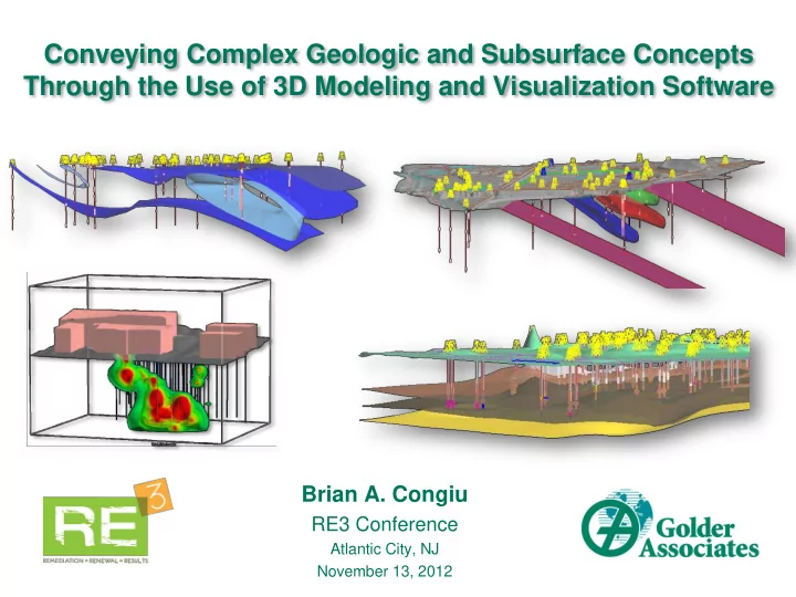
Conveying Complex Geologic and Subsurface Concepts Through the Use - PowerPoint PPT Presentation
Conveying Complex Geologic and Subsurface Concepts Through the Use of 3D Modeling and Visualization Software Brian A. Congiu RE3 Conference Atlantic City, NJ November 13, 2012 Outline What is 3D Visualization? What Do We use It For?
Conveying Complex Geologic and Subsurface Concepts Through the Use of 3D Modeling and Visualization Software Brian A. Congiu RE3 Conference Atlantic City, NJ November 13, 2012
Outline • What is 3D Visualization? • What Do We use It For? • Why Do We Use It? • How Are We Applying It? • Project Examples December 4, 2012 2
What is 3D Visualization? Three-dimensional representation of objects, settings, & scenarios • Physical models • Computer modeling software • 3D printing Used in many industries Widely used in oil, gas, & mining Limited environmental applications – emerging Modeling site conditions & understanding subsurface characteristics Technology advancing – becoming more cost effective & feasible October 17, 2011 3
What Do We Use It For? Creating 3D representations of sites - computer models Common application: Conceptual Site Model Development Golder: strong emphasis on CSM work Development of good CSM Saves time & $$$ Recent Focus: Bringing the CSM into 3D How? Integration of typical environmental site data into 3D space Faster – Easier – Cost Efficient – High Visual Impact December 4, 2012 4
site maps regional references well locations borehole logs utilities cross-sections topography structural contours as-built drawings fractures/faults site mapping Hydrogeology Chemistry 3D Model hydro testing CSM sampling results water levels/contours tables/graphs regional references contours GW modeling cross-sections maps/ logs , testing results, cross-sections , surface/DH historical maps, photos, aerial images, sanborn maps, records, past operations 5
Why Are We Using It? Tradition al 3D Model Traditional CSM CSM CSM December 4, 2012 6
Traditional 2D representations 3D Models
How Are We Applying It? 1. Data Repository • Compile , store & view various data together in central location • Import/export data between software • Integrate new data over time 2. Visualization, Analysis, & Interpretation • To view , understand , interpret various data types • Perform analyses: interpolation, geostats, queries • Make informed interpretations: freedom to manipulate 3. Field Verification & Decision-Making • Model (to scale) created in real-world coordinate system • Plan borings & investigations, identify data gaps 4. Communication • Effectively convey site setting & quickly illustrate complex concepts • Frequently used in presentations to clients & regulators December 4, 2012 8
How Are We Applying It? Deliverables Variety of project types • Presentations • large & small • Videos • simple complex • Figures • 3D PDF Employ multiple types of software: “Many tools in the tool belt” • Geologic modeling • Chemistry modeling • GIS CADD • Fracture modeling • GW modeling • 3D design December 4, 2012 9
Project Examples
Large Industrial Site CSM Background: 400 borings, large site, complex geology & groundwater model Problem: Compile, view, interpret large datasets & GW model for CSM Approach: Used 3D model to manage/display data & construct CSM December 4, 2012 Project Video
Hydro Investigation Background: Investigate hydro stratigraphy & local GW flow Problem: Boring placement & hydro unit targets Approach: Modeled geology & hydro data; used drill hole designer & cross- section tools December 4, 2012 Project Video
MIP Investigation Background: Former industrial site - solvents in groundwater Delineated plume via MIP (Membrane Interface Probe) Investigation Problem: Use MIP data to understand contamination & geology Approach: 3D interpolation of MIP data (EC & ECD) & iso-shell creation Visualize zones of impacts & low permeability December 4, 2012 Project Video
Excavation Volumes Background: Industrial site: proposed excavation Problem: Determine volume of clean/contaminated material Approach: Modeled geology & excavation (created space-filling model), used soil chemistry --queries & volume calculations December 4, 2012 Project Video
Summary • Combination of software tools to build 3D models • Useful application for environmental work • Powerful for visualization, analysis, & communication • Increases productivity, time savings, cost savings • Well received both internally & externally • Golder is expanding its use to more projects & exploring new applications December 4, 2012 15
Thank You! For more information: Golder Associates Booth #11 TV presentation of more 3D examples Acknowledgements Florin Gheorghiu, Michael Borda, Bill Decker, Lisa Congiu, Andrew Madison, Teresa Lewis, Charlie Lawrence Questions? December 4, 2012 16
Recommend
More recommend
Explore More Topics
Stay informed with curated content and fresh updates.