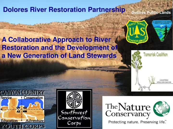
SLIDE 1 Dolores River Restoration Partnership
Dolores Public Lands
A Collaborative Approach to River Restoration and the Development of a New Generation of Land Stewards
SLIDE 2
Project Area From McPhee Reservoir to the confluence with the Colorado River – the project area covers more than 4,600 square miles of the arid southwest
SLIDE 3 Why the Dolores?
- Rare riverside plant communities.
- A healthy native fish community:
– endangered Colorado Pikeminnow, – Seven State Agreement, Species of Concern: roundtail chub, flannelmouth sucker, bluehead sucker
- An ideal target for restoration: location within the arid southwest, size,
resilient native fish and plant communities, and its connection to the main stem of the Colorado.
- To demonstrate collaborative conservation on a major scale.
SLIDE 4 Vision
A thriving Dolores River system that is ecologically, socially, and economically sustainable in a multiuse context. Replace tamarisk with a sustainable, healthy riparian community
Results: Biodiversity increases Habitat value increases Sediment transfer regimes improve Native vegetation seed source improves Tamarisk seed source decreases Fire threat to native vegetation decreases Water usage is more beneficial to ecosystem
SLIDE 5 History of Partnership
Formed - Fall 2008 Partners include:
- Conservation Corps Groups
- The Nature Conservancy
- Dolores Public Lands (BLM)
- Walton Family Foundation
- The Tamarisk Coalition
- SEUTP (Southeastern Utah Tamarisk Partnership)
- San Miguel County Weed Program
Commissioned the Tamarisk Coalition to develop a Dolores River Tamarisk Resource Plan
SLIDE 6 Why is the Partnership important?
- Collaborative decision making process
- Watershed-wide stake holder input
- Shared financial, implementation and
monitoring responsibilities
- Integration of social and ecological goals
- Develop process for shared planning,
implementation, and monitoring to inform and/or assist other projects and partners
SLIDE 7 Initial Partnership Successes
- Treated 23 miles of Dolores River riparian
habitat (low to medium density)
- Inventoried 502 acres, of which 191 acres
were treated
- Disappointment Creek/Slickrock, 21 acres
(high density)
- Trained and deployed 2 Conservation
Corps programs for 13 weeks, fall 2009
- Raised $1,000,000 + to begin project
SLIDE 8 Initial Funding
- David and Lucile Packard Foundation
- Dolores Public Lands (BLM)
- Walton Family Foundation
- Colorado Water Conservation Board
- Marathon Oil Corporation
- The Nature Conservancy
SLIDE 9 Dolores – The River of Sorrows – The Ecological and Conservation Challenges
- Altered flows since the beginning of the last century –
agriculture and community depend on Dolores water
- Significant rare and imperiled plant and fish species
- Suitability for Wild and
Scenic sets off a charged debate about how to balance natural values and human needs/rights
rise and fall with the intermittent spills from McPhee Dam
Lower Dolores Plan Working Group – Fall 2009
SLIDE 10 Planning Challenges
Initial Tamarisk Coalition DRAFT surfaces several fundamental questions:
- Vision – what does success look like?
- Priorities – how will you determine what is and what is
treated and restored?
- Beetle – Is “let the beetle do its thing” reasonable or
irresponsible?
- Monitoring – How will learn
from our successes and failures on the ground?
SLIDE 11
Work Begins, September 8th 2009
Under the direction of Canyon Country Youth Corps Project Director, Tim Foulkes, the orientation soon gives way to cutting
SLIDE 12
Social Goals
Conservation Corps programs seek to educate and train young adults through their participation in restoration activities that benefit important public lands.
SLIDE 13
Stories from the field - Steven
Half of Canyon Country and Southwest crews and leadership are Native American Most are navigating huge social, educational, and economic challenges Steven - Returning member, sober, great group leader and motivator, changed his vision of himself
SLIDE 14 Skills Learned
- S-212 chain saw safety and maintenance
- Noxious weeds, specie identification, herbicide application
- Specie specific cutting, brush cutter safety
- GPS mapping, way points and data collection
- Riparian ecology processes
- Social and personal skill development
- Applying for federal jobs training
SLIDE 15 Social Goals – Initial Progress
- 75% of crew members earned
their AmeriCorps education award – paving the way for higher education
leaders may pursue careers with public land agencies
members successfully completed 13-week program
SLIDE 16
Ecological Goals
Riparian areas throughout the watershed will be dominated by native vegetation. We also expect riparian habitat and fluvial geomorphological processes to be minimally influenced by invasive species.
SLIDE 17 Indicators of Success
- Watershed’s riparian areas
are 95% dominated by native vegetation
- Outstandingly Remarkable Values: Kachina daisy,
Hanging Gardens, Roundtail Chub, and New Mexican privet communities gain in size and resilience over time
- Coyote willow, narrow leaf and Freemont cottonwood,
and native grasses become established in areas previously covered by tamarisk
SLIDE 18 Monitoring
- 1. Monitoring, science-based
- 2. Maintenance
Monitoring: Anna Sher, Denver University Tamarisk Treatments – Effectiveness
- Regrowth?
- Native and non-native response
- Effects on hydrology: surface flow, depth to groundwater
- Soil composition: salinity, moisture, fertility
- Local Site Conditions: grazing, geomorphology
SLIDE 19
Monitoring – Maintenance The feedback loop
Questions: What’s working, what isn’t? Are we making the best decisions in the field based on the answers above? Use the following Decision Trees to affirm that we are working in the right places, and doing the right things
SLIDE 20
SLIDE 21
SLIDE 22
I - Gateway – January 22 Reaching for consensus: vision goals, and implementation guidelines II – Affirm monitoring protocol for both scientific and program planning
Next Steps
IIII – Conclude Dolores Public Lands (BLM) Implementation Plan, March 2010 IV – Finalize Dolores River – Restoration Action Plan, March 2010 V – Resume Conservation Corps work , March 2010 VI – Begin monitoring work
SLIDE 23 Dolores River – Parting Shot
–Shot
The Dolores River has helped distinguish southwest Colorado as
places to live and work. It is also one of the most precious ecosystems in the West. Restoring native cover to the Dolores’ channels and banks will bring new life to the region’s plants and animals .
SLIDE 24 Special Thanks
her patience, support and guidance of our work and outreach
- n the San Miguel
- River. All good
things have to start somewhere.
for his willingness and enthusiasm of
restoration door on the Dolores. “Let’s go forth and do good things.”