SLIDE 1
Flight Forward
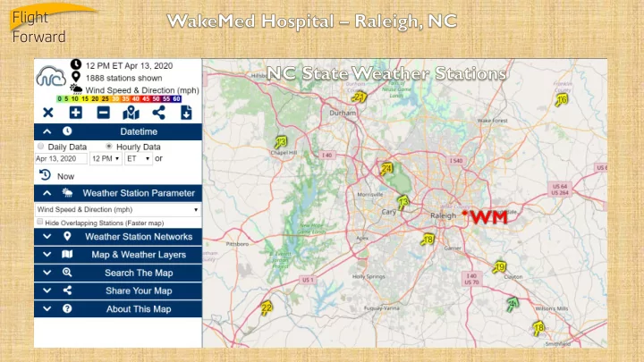
SLIDE 2
Flight Forward
Personal Weather Stations
SLIDE 3
Flight Forward
KSLC 7mi Hill AFB 26mi Almost 1,000ft elevation change from SLC
SLIDE 4
Flight Forward
SLIDE 5
Flight Forward
SLIDE 6 Flight Forward
TAKEAWAYS
- FAA ASOS/AWOS too sparse for UAS usage (also too expensive to
duplicate)
- University sponsored weather stations lack visibility/ceiling in most
cases, but are typically quality checked for certifiable data
- Personal weather stations are dense in coverage but lack certifiable
data
- Weather cameras can use AI to determine visibility and sky coverage
and are much more cost effective than normal instruments (ceilometer etc)
SLIDE 7
Flight Forward
FAA AVIATION WEATHER CAMERAS
https://avcams.faa.gov/
SLIDE 8 Flight Forward
HOW ARE WE BRIEFING TODAY?
- UPSFF is using only commercially rated [manned] pilots as operators
- Crewmembers attend an initial and recurrent meteorology class
approved by the FAA similar to EWINS program
- The closest TAF is used for the official briefing
- UPSFF Meteorology department can provide additional information to
crewmembers upon request or uncertainty
- Crewmembers are trained to use calibrated handheld anemometers
- n site
SLIDE 9
Flight Forward
UNTIL WE HAVE MORE INPUT FOR COMPUTER MODELS, THE OUTPUT WILL STRUGGLE.
This data can come from many sources… ground stations, drones, aircraft, vehicles, cell phone towers, cell phones, radar, satellite etc. Increasing terrain modeling resolution is a step in the right direction but cannot compete with adding real time observations from data points where there is currently no input.
SLIDE 10
Flight Forward
LET’S FI ND A COST EFFECTI VE AND ACCURATE SOLUTI ON TOGETHER.