
SLIDE 1 sairam
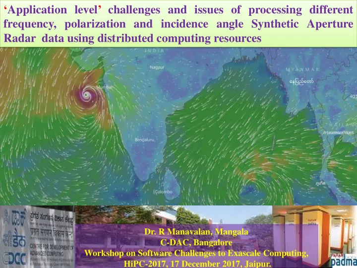
‘Application level’ challenges and issues of processing different frequency, polarization and incidence angle Synthetic Aperture Radar data using distributed computing resources
- Dr. R Manavalan, Mangala