
SLIDE 1
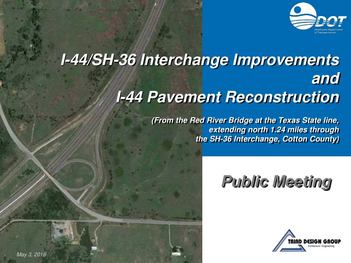
I-44/SH-36 Interchange Improvements and I-44 Pavement Reconstruction
(From the Red River Bridge at the Texas State line, extending north 1.24 miles through the SH-36 Interchange, Cotton County)
Public Meeting
May 3, 2016
I-44/SH-36 Interchange Improvements and I-44 Pavement - - PowerPoint PPT Presentation
I-44/SH-36 Interchange Improvements and I-44 Pavement Reconstruction (From the Red River Bridge at the Texas State line, extending north 1.24 miles through the SH-36 Interchange, Cotton County) Public Meeting May 3, 2016 I-44/SH-36
I-44/SH-36 Interchange Improvements and I-44 Pavement Reconstruction
(From the Red River Bridge at the Texas State line, extending north 1.24 miles through the SH-36 Interchange, Cotton County)
Public Meeting
May 3, 2016
I-44/SH-36 Interchange
Meeting Purpose
I-44/SH-36 Interchange
Project Location
Project Location
TEXAS COTTON COUNTY
I-44/SH-36 Interchange
Area Features
Kiowa Casino
SH-36
Comanche Red River Casino
US-70 E 2000 ROAD (EW 200)
Existing Bridge Comanche Casino Travel Plaza Project Location
I-44/SH-36 Interchange
Recently-Completed Projects
SH-36
E 2000 Road (EW 200) Comanche Red River Casino US-70 Comanche Casino Travel Plaza
Project Location
Kiowa Casino
SH-36 Reconstruction (2012)
Interchange to US-70
SH-36
I-44 Pavement Reconstruction (2013)
I-44/SH-36 Interchange
Existing I-44
Existing I-44 Through the Interchange
Shoulders
SH-36 Interchange (Recent Overlay)
E 2000 ROAD (EW 200)
I-44/SH-36 Interchange
Existing SH-36 and Bridge
Existing SH-36 Through Interchange
E 2000 ROAD (EW 200)
I-44/SH-36 Interchange
Existing Interchange
Existing Interchange
Before Turning onto SH-36
E 2000 ROAD (EW 200)
Improve Safety and Traffic Operations
I-44/SH-36 Interchange
Purpose and Need
I-44/SH-36 Interchange
Existing Conditions in Need of Improvement
No Merge Lane on SH-36 from Loop Ramp Narrow Shoulders on Bridge Merge Lane on I-44 too Short
Loop Ramp Curve too Tight Pavement Condition in Need of Upgrade
I-44/SH-36 Interchange
Collisions, 2010 - 2015
COLLISION DATA LEGENDE E E R R R E H S F
Wide Shoulders
I-44/SH-36 Interchange
Proposed Project
I-44/SH-36 Interchange
Alternative 1: Diamond Interchange
I-44/SH-36 Interchange
Alternative 2: Loop/Diamond Interchange, with Loop Ramp & Stub Ramp
I-44/SH-36 Interchange
Alternative 2A: Loop/Diamond Interchange, with Loop Ramp & Free-Flow Ramp
Reconnaissance Performed to Identify Constraints
I-44/SH-36 Interchange
Constraints Mapping
I-44/SH-36 Interchange
Composite Constraints Map
Discussed
I-44/SH-36 Interchange
Tribal Stakeholder Coordination
I-44/SH-36 Interchange
Comparison of Alternatives
Comparison Parameter Alternative 1: Diamond Interchange Alternative 2: Loop/Diamond Interchange, with Loop Ramp & Stub Ramp Alternative 2A: Loop/Diamond Interchange, with Loop Ramp & Free-Flow Ramp
Traffic Operations Good Good Better Interchange Geometry Better Good Good Flexibility to Accommodate Traffic Growth Not Applicable Can be modified to Alternative 2A, if future traffic dictates Not Applicable Environmental Impacts* 3 Acres Tribal Property 2 Acres Tribal Property 5 Acres Tribal Property 1 Residential Relocation 1 Commercial Property Impacted Utility Impacts 6 Utilities Impacted 5 Utilities Impacted 6 Utilities Impacted Right-of-Way Impacts 8 Acres 2 Acres 12 Acres Total Project Cost $21 million $19 million $23 million*: No other environmental constraints identified.
I-44/SH-36 Interchange
Preferred Alternative
Alternative 2: Loop/Diamond Interchange, with Improved Loop Ramp (NB I-44 to NB SH-36) and Stub Ramp (NB I-44 to EB E 2000 Road)
Future Traffic
I-44/SH-36 Interchange
Preferred Alternative
I-44/SH-36 Interchange
What Happens Next?
I-44/SH-36 Interchange
Roadway Improvement Process
www.odot.org/publicmeetings
Oklahoma Department of Transportation Environmental Programs Division 200 N. E. 21st Street Oklahoma City, OK 73105
(405) 522-5193
Odot-environment@odot.org
I-44/SH-36 Interchange
Submit Your Comments
I-44/SH-36 Interchange