
SLIDE 1
Integrated Vulnerability Assessment in the Chesapeake Bay Creating - - PowerPoint PPT Presentation
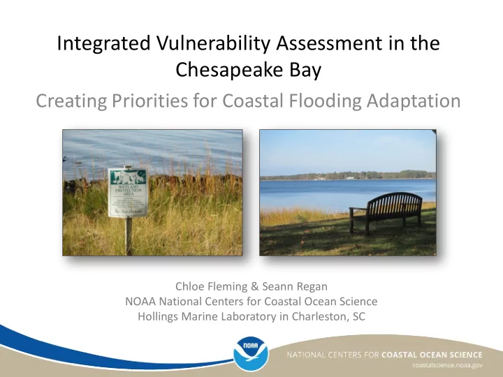
Integrated Vulnerability Assessment in the Chesapeake Bay Creating Priorities for Coastal Flooding Adaptation Chloe Fleming & Seann Regan NOAA National Centers for Coastal Ocean Science Hollings Marine Laboratory in Charleston, SC
Sunset on the Tred Avon River at the Cooperative Oxford Laboratory Photo credits: Integration and Application Network, University of Maryland Center for Environmental Science; NOAA