
SLIDE 1
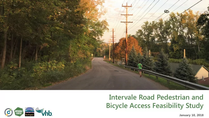
Intervale Road Pedestrian and Bicycle Access Feasibility Study
January 10, 2018
Intervale Road Pedestrian and Bicycle Access Feasibility Study - - PowerPoint PPT Presentation
Intervale Road Pedestrian and Bicycle Access Feasibility Study January 10, 2018 Meeting Agenda Introductions Review of Project Scope and Schedule Review of Previous Studies and Planning Efforts Discuss Potential Alternatives for
January 10, 2018
▪ Goal: Enhance community access to a dynamic Intervale District through implementation of bicycle and pedestrian improvements along Intervale Road. ▪ Current Effort: Scoping Study to identify existing conditions, evaluate alternatives, engage stakeholders, and select a preferred alternative.
– Scoping: Phase in the Project Development process that moves a recognized problem from an idea through the development of alternatives and environmental screening
▪ Kick-Off Meeting: Completed October 2017 ▪ Topographic Survey: Completed December 2017 ▪ Existing Conditions Assessment: October - December ▪ Local Concerns Meeting: Tonight ▪ Alternatives Assessment: January – March 2018 ▪ Alternatives Presentation: April 2018 ▪ Preferred Alternatives Selection: May 2018 ▪ Scoping Report: June 2018
▪ Project Area Length – 4,500 feet
– 1,500 feet paved – 3,000 feet gravel
▪ Posted Speed
– 25 mph south end – 15 mph north end
▪ Right-of-way
– 49.5’ south end – 33’ north end
▪ New England Central Railroad At-Grade Crossing
McNeil Generating Station Intervale Center Farmstead Gardener’s Supply Queen City Steel Intervale Center Agricultural Complex
▪ Traffic mix:
– Chip trucks, farmers, CSA pick-ups, Intervale event visitors, Gardener’s Supply customers
▪ No formal bicycle and/or pedestrian facilities ▪ 3 reported crashes between 2012-2016
– None involving bicyclists or pedestrians
▪ Various public & private parking lots along Intervale Road
City Lot 8 spaces City Lot 7 spaces Farmstead Lot 14 spaces Gardner’s Supply Lot 80-90 spaces City Lot (leased to Intervale Center) ~40 spaces
▪ Burlington Transportation Plan
– Identified as a “Bicycle Street” classification
▪ Burlington Parks, Recreation & Waterfront Master Plan
– Mid-term recommendations (FY19 – 22) include formalizing and improving recreation trails
▪ PlanBTV Walk Bike Master Plan (right)
– Long term recommendation for Advisory Bike Lane
▪ Intervale Recreation Survey
– Monday August 31, 2015
▪ Intervale Traffic Study
– July 2017 Summervale:
McNeil Generating Station Intervale Center Farmstead Gardener’s Supply Queen City Steel Intervale Center Agricultural Complex
Segment 2 Segment 3 Segment 1
Gardener’s Supply Co. Queen City Steel Charlebois
Decorative Lighting Curbing Utility Poles 25 mph speed Curbing
Utility Poles Guard Rail Street Lighting No Curbing No Curbing Trailhead Limited sight distance
Utility Poles Guard Rail Steep slope Steep slope Pedestrians! Rail Crossing
Utility Poles Sight Distance Limitations
Gardener’s Supply Co. McNeil Generator Station
Future Intervale Center Access Enhancements
Intervale Center Farmstead
Investigate Crossing Locations Begin Gravel Section
Street Lighting Parking Parking No Utility Poles Potential Access
Fire Hydrant Street Lighting Utility Poles Fence
Future Pocket Park
Intervale Center Agricultural Complex
Summer CSA Pick-Up Location
Community Gardens
City of Burlington Material Pit
15 mph speed Utility Poles Mature Trees Transition to gravel
Utility Poles Parking Trail head
28 ft Right-of-Way Right-of-Way
What Can We Do With 49.5 feet?
Mid-Block Crossing? Natural Materials? Decorative Lighting? 25.5ft Right-of-Way Right-of-Way
What Can We Do With 33 feet?
Gateway Features? Wayfinding? Parking Accommodations 20ft Right-of-Way Right-of-Way
What Can We Do With 33 feet?
▪ Alternatives Assessment: January – March 2018 ▪ Alternatives Presentation: April 2018 ▪ Preferred Alternatives Selection: May 2018 ▪ Final Scoping Report: June 2018
▪ Visit https://www.ccrpcvt.org/intervale-road-pedestrian-bicycle-access-feasibility-study for regular updates! ▪ For questions regarding the Intervale Road Feasibility Study, contact Peter Keating, CCRPC Senior Transportation Planner, at (802) 846-4490 x *14
▪ Most of the project area is in the Winooski River Corridor ▪ Nearby wetland areas ▪ Rare and Threatened Species ▪ Significant Natural Communities