
SLIDE 1
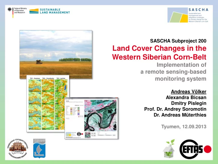
SASCHA Subproject 200
Land Cover Changes in the Western Siberian Corn-Belt
Implementation of a remote sensing-based monitoring system
Andreas Völker Alexandra Bicsan Dmitry Pislegin
- Prof. Dr. Andrey Soromotin
- Dr. Andreas Müterthies
Tyumen, 12.09.2013