
SLIDE 1
Maps and Mapping Services at the Merrill-Cazier Library, USU - - PowerPoint PPT Presentation
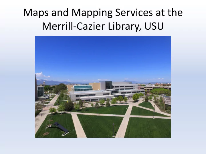
Maps and Mapping Services at the Merrill-Cazier Library, USU Collections Government Documents Special Collections Focus on Box Elder, Cache, USGS Topo quad maps and Rich counties Federal depository library City maps program