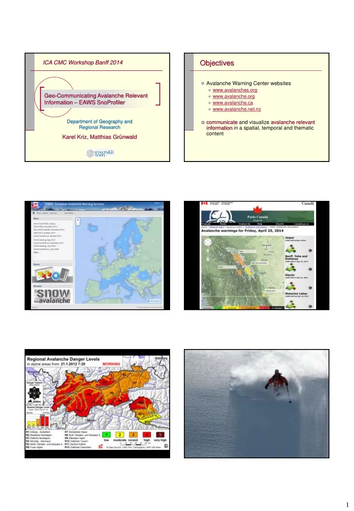
Objectives Avalanche Warning Center websites www.avalanches.org - - PDF document

objectives
SMART_READER_LITE
LIVE PREVIEW

Objectives Avalanche Warning Center websites www.avalanches.org - - PDF document

ICA CMC Workshop Banff 2014 Objectives Avalanche Warning Center websites www.avalanches.org Geo-Communicating Avalanche Relevant www.avalanche.org Information EAWS SnoProfiler www.avalanche.ca www.avalanche.net.nz


slide-1
SLIDE 1

1

Geo-Communicating Avalanche Relevant Information – EAWS SnoProfiler

Department of Geography and Regional Research

Karel Kriz, Matthias Grünwald ICA CMC Workshop Banff 2014

Objectives

 Avalanche Warning Center websites

 www.avalanches.org  www.avalanche.org  www.avalanche.ca  www.avalanche.net.nz

 communicate and visualize avalanche relevant

information in a spatial, temporal and thematic content

slide-2
SLIDE 2

2

slide-3
SLIDE 3

3 Snow Profiles

 Essential for the interpretation and analysis of

snow cover in mountainous areas

 Serve as an assessment tool for the prediction of

potential avalanche hazards

 Analog/online processing of snow profiles

 capture, draw and publish surveyed data.

 Data comprises highly topical content, which

needs to reach users quickly

Snow Profile Structure

 Diagrams of hardness, stability and temperature

  • f the snow pack

 Stacked bar charts of snow layers, in

combination with a graph of the temperature

 Similar across avalanche warning services,

however no standardized representation

 Rules for representation based on the

conventions of CAAML (Canadian Avalanche Association Markup Language)

slide-4
SLIDE 4

4 SnoProfiler

 Free accessible online application for processing

  • f snow profiles

 Goal to communicate and visualize avalanche

relevant information to experts as well as to the general public with a strong cartographic spatial focus

 Cooperation between Avalanche Warning

Center of Tyrol and the University of Vienna

SnoProfiler

 Enables users to enter qualitative as well as

quantitative information, surveyed in the field

 Geo-tagged data stored in a DB and reproduced

automatically as vector (PDF) and raster images

 Snow layer height, temperature and meta-data  Snow pack hardness and height drawn on the x-

and y-axis of the chart

SnoProfiler

 Additional information like grain shape and size,

moistness or rivets

 Air temperature and temperature inside the snow

pack

 Information on potential snow pack stability  Meta-data

 user data, spatial, regional and temporal data,

information about the weather conditions and user-comments

slide-5
SLIDE 5

5 Challenge and Outlook

 Content relevant presentation of abundant

available information

 Communication within a geographical context  Exclusion of non-relevant information  Esthetically pleasing  Flexibility, scalability and reliability  Legend with standardized symbolization  Multi-lingual capability  Knowledge requirements - user education

Conclusion

 Development of a framework that can focus on

how users interact with the system in an efficient and sustainable way in order to satisfy their needs and support avalanche awareness

www.avalanches.org/snoprofiler

Geo-Communicating Avalanche Relevant Information – EAWS SnoProfiler

Department of Geography and Regional Research

Karel Kriz, Matthias Grünwald ICA CMC Workshop Banff 2014