
SLIDE 1
2/25/2009 1
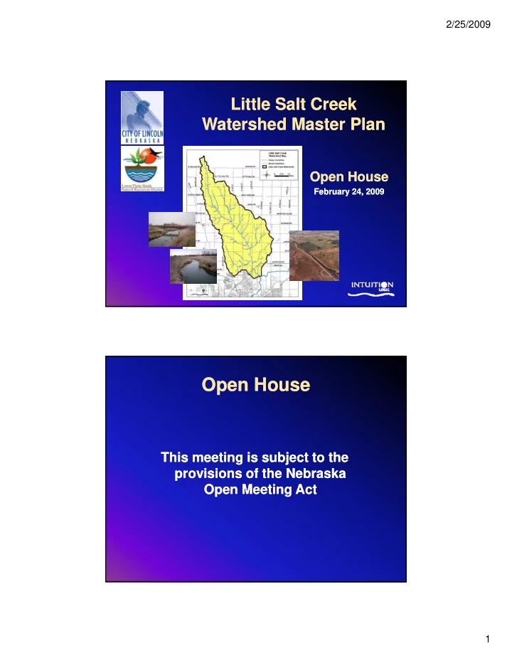
Little Salt Creek Little Salt Creek Watershed Master Plan Watershed Master Plan
Open House Open House
February 24, 2009 February 24, 2009
Open House Open House This meeting is subject to the This meeting - - PDF document
2/25/2009 Little Salt Creek Little Salt Creek Watershed Master Plan Watershed Master Plan Open House Open House February 24, 2009 February 24, 2009 Open House Open House This meeting is subject to the This meeting is subject to the
February 24, 2009 February 24, 2009
– Beal Slough Beal Slough – SE Upper Salt Creek SE Upper Salt Creek – Stevens Creek Stevens Creek – Cardwell Branch Cardwell Branch – Deadmans Deadmans Run Run Deadmans Deadmans Run Run
– Unified Master Plan Unified Master Plan – Integrate Public Input Integrate Public Input
Goal Goal - Develop long Develop long-
term planning tools and improvement projects to address water quality, flood management, and projects to address water quality, flood management, and stream stability and provide guidance for sustainable stream stability and provide guidance for sustainable stream stability and provide guidance for sustainable stream stability and provide guidance for sustainable urban growth in the watershed urban growth in the watershed Study Objectives Study Objectives
Maintain a Proactive Stakeholder and Public Involvement process process
Update Floodplain and Floodway Maps
Identify Flooding, Erosion, and/or Water Quality Problems Identify Flooding, Erosion, and/or Water Quality Problems Identify Flooding, Erosion, and/or Water Quality Problems
Consider Critical Habitat and Rare or Sensitive Environmental Resources Environmental Resources
Develop Guidelines and Recommendations for Future Development Development
Identify Potential Funding Sources for Future Studies and/or Projects and/or Projects
Heartland Center for
Lincoln & Lancaster County Planning Department Lincoln & Lancaster County Planning Department
Heartland Center for Leadership Development
Stream Stability Stream Stability Floodplain Floodplain Mapping Mapping Public Public Involvement Involvement Watershed Watershed Inventory Inventory Natural Natural Resources Resources y Resources Resources Water Quality Water Quality Soil Soil Assessment Assessment
– Computer Models Computer Models – GIS Format Output GIS Format Output
Floodprone Area Area Updated Updated
Floodway Delineated Delineated
Adopt Floodprone Floodprone Area and Floodway Area and Floodway Area and Floodway Area and Floodway as Best Available as Best Available Information Information
Five Dominant Processes 1. Dynamic Equilibrium 2. Incision 3. Widening 4. Plan Form Adjustment 5. Managed Swale and Pond
USDA
– Seep elevation Seep elevation – Top of bank Top of bank Top of bank Top of bank – Toe of slope Toe of slope – Water surface Water surface – Lowest point is Lowest point is channel channel
– 10 sites 10 sites
– 6 sites 6 sites
– Slightly Dispersive Slightly Dispersive
Incising stream
Observed seep
– 10 Grade Controls 10 Grade Controls 10 Grade Controls 10 Grade Controls – 8 Stilling Basins 8 Stilling Basins
USDA
Water Quality BMP
Conservation Culvert
TASKS
2008 2009
Feb Mar Apr May June July Aug Sept Oct Nov Dec Jan Feb Mar Apr May June July Aug Sept Oct Nov Feb Mar Apr May June July Aug Sept Oct Nov Dec Jan Feb Mar Apr May June July Aug Sept Oct Nov
Floodplain Mapping Data Gathering & Analysis Master Plan Report Development p Open Houses Citizens Advisory Committee Meetings