
SLIDE 1
The Dutch Satellite Data Portal The Dutch Satellite Data Portal as - - PowerPoint PPT Presentation
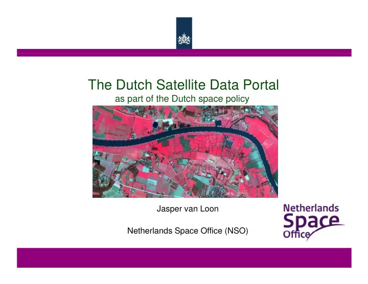
The Dutch Satellite Data Portal The Dutch Satellite Data Portal as part of the Dutch space policy Jasper van Loon Netherlands Space Office (NSO) Netherlands Space Office (NSO) Netherlands Space Office ( NSO) 2 5 FTE Execute the Dutch
Netherlands Space Office 3
Netherlands Space Office
: 25 meter, 1x per 24 days, 4 polarisations (HH, HV, VH, VV) 4 polarisations (HH, HV, VH, VV)
: 22 meter, 3x per week, 3 bands
: 22 meter, 3x per week, 3 bands
: 8 meter, 1x per 9 days, 4 bands
: 2 meter, 1x per 9 days, 1 band
14
Netherlands Space Office
16
4 September 2012
Netherlands Space Office 17
1 September 2012
Netherlands Space Office 18
Netherlands Space Office 19
Netherlands Space Office
Netherlands Space Office
Netherlands Space Office 22
watertekort
Netherlands Space Office
Netherlands Space Office 24
Netherlands Space Office 25
27
(NL focus: precision farming, deformation monitoring) Potential need for other (higher resolution) data