THE PROGRESSION OF LIDAR Tuesday November 12, 2013 Historical LiDAR - - PowerPoint PPT Presentation

the progression of lidar
SMART_READER_LITE
LIVE PREVIEW

THE PROGRESSION OF LIDAR Tuesday November 12, 2013 Historical LiDAR - - PowerPoint PPT Presentation

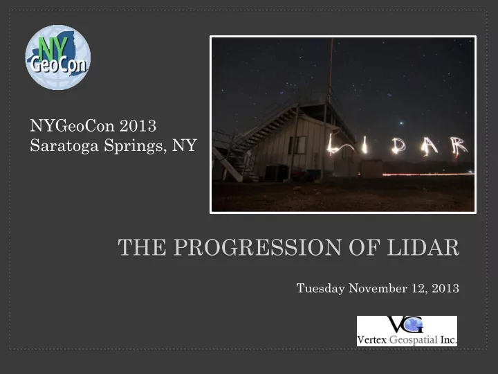
NYGeoCon 2013 Saratoga Springs, NY THE PROGRESSION OF LIDAR Tuesday November 12, 2013 Historical LiDAR data Aerial Platforms Ground based. Project areas cover several hundred square miles. Typical point densities of 1


slide-1
SLIDE 1

THE PROGRESSION OF LIDAR

Tuesday November 12, 2013

NYGeoCon 2013 Saratoga Springs, NY

slide-2
SLIDE 2
  • Aerial Platforms
  • “Ground” based.
  • Project areas cover several

hundred square miles.

  • Typical point densities of

1 point / sq meter.

  • Resultant accuracies of 1-

2 ft.

  • Costs range from $100 -

$300 sq. mile depending

  • n deliverable spec.

Historical LiDAR data

slide-3
SLIDE 3

TYPICAL USES…

Transportation/ Municipal Planning Contour Generation Floodplain Management

Historical LiDAR data

slide-4
SLIDE 4

At some point, the question

  • What about all the “other”

data? was asked. All the data that was once “filtered” to obtain bare earth information was now

  • f interest.
slide-5
SLIDE 5

What we started to find…

slide-6
SLIDE 6

Technology Advancement – Bricks to Slicks

slide-7
SLIDE 7

Technology Advancement Cont..

Faro Focus 3D Terrestrial Laser Scanner PULSE - Portable Underwater

Laser Scanning Equipment

UAV with FARO scanner

slide-8
SLIDE 8

What does the advancement in technology mean for me?

slide-9
SLIDE 9

Modeling issues encountered.

slide-10
SLIDE 10

Other Examples.

slide-11
SLIDE 11

The Result… …HUGH datasets.

  • Data formats to be considered
  • LAS, ASCII, PCI, FLS
  • Data storage requirements
  • Portable Hard Drives, Cloud Storage
  • Software Products:
  • Autodesk Map 3D Revit, Kubit
  • Esri ArcGIS 3D + extensions
  • Leica Cyclone
  • Lizardtech GeoExpress
  • VRMesh
  • FARO Scene
slide-12
SLIDE 12

Other Considerations...

  • Data Compression is a developing technology
  • Rapidlasso LASZip, open source LAS file

compression

  • http://rapidlasso.com/
  • PAR GvLF (LiDAR Framework), data

compression and spatial indexing

  • http://www.pargovernment.com
  • Lizardtech LiDAR Compressor
  • http://www.lizardtech.com/products/lidar/
slide-13
SLIDE 13

QUESTIONS

Verne LaClair 42 Genesee Street Suite 2 New Hartford, NY 13413 verne@vertexgeo.com