The UrbanSim Project: Using Urban Simulation to Inform Public - - PowerPoint PPT Presentation
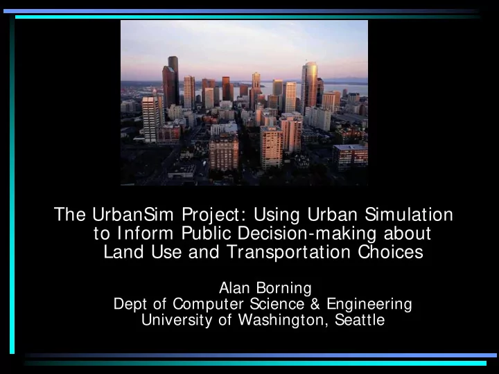
The UrbanSim Project: Using Urban Simulation to Inform Public Decision-making about Land Use and Transportation Choices Alan Borning Dept of Computer Science & Engineering University of Washington, Seattle Urban Form and Sustainability
Urban Form and Sustainability
- Most of the world's population lives in cities
- Patterns of urban land use and transportation play a
major role in environmental sustainability, e.g.:
– Resource consumption – Greenhouse gas emissions – Farmland and open space preservation or loss
- Land use and transportation choices interact.
Examples:
– Automobile use and auto-oriented development mutually reinforcing – Transit-oriented development
- If we broaden sustainability to include social and
economic sustainability, additional important features include effects on health and community
Role of Modeling and Simulation
- What if we …?
– Built a new freeway or light rail line? – Established an urban growth boundary and zoned for increased density and mixed-use? – Changed the cost of parking, or adopted congestion pricing?
- Integrated land use and transportation
models can provide an important tool for exploring policy alternatives and possible urban futures
- To be effective, modeling must be integrated
with the political process
The UrbanSim System
- A disaggregate, behaviorally realistic simulation
system for modeling the development of urban areas
- ver periods of 20-30 years
- Developed by an interdisciplinary group at the
University of Washington over the past decade
– Paul Waddell, Evans School of Public Affairs – Many other students, faculty and staff from Civil Engineering, Information School, Psychology, Statistics, Urban Design and Planning: Sam Clark, Janet Davis, Rob Duisberg, Bjorn Freeman-Benson, Batya Friedman, Dieter Fox, Peter Henry, Peter Kahn, Christoffer Klang, Travis Kriplean, Brian Lee, Peyina Lin, Justin Meyer, Michael Noth, Sebastian Pappert, Adrian Raftery, Hana Sevcikova, Soyoung Shin, Davis Socha Liming Wang, …
- GNU Public License
- Available for download at www.urbansim.org
UrbanSim Deployment
- Deployment and operational use by regional
planning agencies a major project goal
- Operational use:
– Detroit, Houston, Seattle, Salt Lake City metropolitan areas
- Planned operational use or research and pilot
applications:
– Amsterdam, Brussels, Burlington, Durham, El Paso, Eugene, Honolulu, Lausanne, Melbourne, Paris, Phoenix, San Francisco, Tel Aviv, Zurich
- User community: Users Group meetings in
U.S. and Europe, active email list
UrbanSim – System Architecture
- Modeling:
– Provide interacting component models that represent different agents and processes in the urban environment – Component models loosely coupled (for software engineering reasons); communicate via a shared database – Dynamically simulate annual time steps
- Example component models:
– Household Location Choice Model – Employment Location Choice Model – Real Estate Price Model – Building Construction Model – Travel (external model)
UrbanSim geographic data: 150 square meter grid cells & parcel data - Green Lake neighborhood, Seattle
Example Model - Household Location
- Households that need to be placed in new locations
in a given simulated year:
– Existing household predicted to move by Household Relocation Mode – New households from Demographic Transition Model
- Available housing to move into:
– Units vacated by households that moved out – New housing from the Real Estate Developer Model
- Household Location Choice is a probabilistic model –
- utcome is where household moves to.
- Variables used in computing these probabilities:
characteristics both of the household and of the potential housing
- Estimated using observed data for the region being
simulated
Implementation
- UrbanSim 1, 2, and 3 were written in Java
– Problems: modelers unwilling to read (let alone write) code; difficult to do quick experiments with alternative modeling approaches
- UrbanSim 4 is now written in Python using Opus
(Open Platform for Urban Simulation)
- Much more flexible architecture, comparable
performance
- Embedded domain-specific programming language
for defining model variables (10x code reduction for these parts of the system)
- Integrated with visualization and statistical libraries
(in particular, we have integrated model estimation tools – very important for the modelers)
- A few technically savvy modelers now willing to read
code, do interactive experiments using command line tools
Iteratively Developing Data and Models
- Estimation
– Need to fit coefficients for variables in the choice and regression models to observed data – For PSRC application, 18 regression models and 17 choice models to be estimated
- Model development
– Configure the arguments used in constructing the model – Selecting the variables to use in the discrete choice
- r regression equation used in the model
- Both of these are iterative processes that
require knowledge of a domain expert, and involve adding or excluding variables, and sometimes defining new ones
The Opus/UrbanSim GUI
Indicators
- Indicators provide the principal mechanism for
summarizing results from the simulation. Examples:
– Population density – Average household income – Acres of buildable land – Greenhouse gas emissions from transportation
- Several interrelated indicator projects
– Results Manager section of GUI – Technical documentation for indicators – Indicator Perspectives – Household Indicators
- Interested both in supporting the technical modeling work, and in
supporting public participation in the planning process
- The work on laying the groundwork for public participation strongly
informed by Value Sensitive Design theory and methods
Example simulation
- utput:
Map-based indicator display for Puget Sound region
Indicator Perspectives (1)
Indicator Perspectives (2)
Indicator Perspectives (3)
Some Current Projects
- Studying how the new UrbanSim GUI and
interaction techniques change modeler practice at planning organizations
– Importance of experimentation in appropriating UrbanSim to a new region – Iterative development of models — better to get a working but primitive system up soon, rather than spending lots of time up front getting the data in great shape
- Modeling and presenting uncertainty in
simulation results using Bayesian Melding
- Using data from a Seattle area congestion
pricing study to build better travel models
- OneBusAway project & activity recognition to
inform travel models
The Alaskan Way Viaduct - Downtown Seattle
- completed 1953
- near a fault line
- damaged in