SLIDE 1
SLIDE 2 What Core Problem Inspired this App? During natural disasters, the National Weather Service (NWS) and the Federal Emergency Management Agency (FEMA) are often
- verwhelmed with repetitive
reports from storm spotters and local EMAs.
This makes it difficult to issue accurate, timely hazard reports!
SLIDE 3 What Factors are Causing this Problem?
- Local EMA chapters have the most accurate
local information, but often still rely on walkie-talkies to communicate
- Individual storm-spotters call the NWS to
report simultaneously for the same area
- Local citizens rely on national reports, rather
than local updates, for local safety concerns
SLIDE 4 What are the Current Emergency Communication Lines?
Storm Spotter Storm Spotter Storm Spotter 1. Storm spotters and local EMAs share road hazard information via walkie- talkies 2. Storm spotters share local hazard information with the NWS 3. The NWS shares hazard information with the FEMA and issues national warnings
- 4. FEMA provides emergency
response recommendations to local EMAs 5. Local EMAs organize local emergency response personnel to assist citizens
SLIDE 5 Who Will this App Target to Solve these Problem? Local EMAs
- Provide a better way to communicate with
the public during an emergency
- Quickly update EMA members on road
hazards without walkie-talkies
Local Citizens
- Receive local hazard updates and
emergency assistance faster
- Focus on local hazards, rather than national
- r world-wide emergencies
SLIDE 6
What Would be the NEW Emergency Communication Lines?
Storm Spotter Storm Spotter Storm Spotter 1. Storm spotters share information directly with their local EMA and local citizens. 2. Local EMAs contact FEMA directly, and receive immediate feedback as to what emergency personnel to dispatch. Additionally, a second local EMA person contacts the NWS with the combined storm spotter reports. 3. The NWS issues national warnings, while the local EMA dispatches the proper emergency personnel.
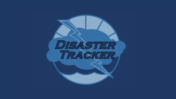
SLIDE 7
What is the App’s Basic Description?
Disaster Tracker is a revolutionary new weather and natural disaster application, promoting safety and communication within local communities. This app allows users to track storms in their general area with live updates and radar, while also being alerted to road hazards that may occur. Sponsored by the National Weather Service and FEMA, this app facilitates communication between local EMA personnel and local citizens in order to enhance safety. To do this, the app has two different sections to meet the needs of both EMA personnel and the everyday citizen.
SLIDE 8 How will the app work?
The app will open with an option to utilize the professional EMA member version or the local citizen version. EMA members will be able to login with their ID numbers, whereas citizens will not require login. From there, the app will have separate functionality depending
SLIDE 9
What will the app look like for EMA Personnel?
These images were created via the Windows App Studio.
SLIDE 10
What will the app look like for Local Citizens?
These images were created via the Windows App Studio.
SLIDE 11 What Competition Exists for the App?
- 1. The Weather Channel
- 2. AccuWeather
- 3. Weatherbug
- 4. Weather Underground
- 5. 1Weather
SLIDE 12
How Much Will the App Cost?
Paid for by the National Weather Service and FEMA
SLIDE 13 How Will the App Launch and be Marketed?
- 1. It will be administered through FEMA to local EMA
- 2. Once they are completely train on the app then it
will be administered to civilians. (Approximately 3-5 weeks.)
- 3. There will be in app advertisement, television, and
radio ads.
SLIDE 14