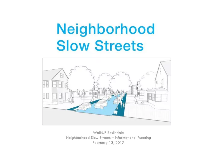
WalkUP Roslindale Neighborhood Slow Streets – Informational Meeting February 13, 2017
WalkUP Roslindale Neighborhood Slow Streets Informational Meeting - - PowerPoint PPT Presentation
WalkUP Roslindale Neighborhood Slow Streets Informational Meeting February 13, 2017 Introduction What is WalkUP Roslindale? WalkUP = Walkable Urban Place Who we are What weve done Why Are We Here? September 2016, Belgrade
Introduction
- What is WalkUP Roslindale?
– WalkUP = Walkable Urban Place – Who we are – What we’ve done
Why Are We Here?
July 2015, Washington Street September 2016, Belgrade Ave January 2017, Bussey Street October 2016, American Legion Hwy
Two pedestrian fatalities in Roslindale in 2016 (Washington/Blue Ledge & Morton/Canterbury).
Images from Universal Hub
Goals for Meeting
- Inform community about
new program
- Encourage residents to:
– advocate for improvements – open lines of communication with City – collaborate/meet neighbors – form new neighborhood traffic/safety groups
Agenda
- Overview of Slow Streets Program
– Background – Traffic Calming overview – Slow Zone Treatments – Application Process – Ideal Neighborhoods – City Process for Improvements – Previously selected neighborhoods – Assistance from WalkUP – Questions
- Opportunity to strategize/meet neighbors
Background
- Vision Zero
– City wants zero roadway fatalities by 2030 – Recently lowered speed limits to 25 mph
Background
- Slow Streets – New
Program for City
– Why: Requests from residents, advancing Vision Zero – Goals: Reduce crashes, lessen cut-through traffic impacts, add to quality of life, create 20 mph zones – How: Quick install, low- cost fixes, neighborhood approach – not one street
Traffic Calming
- “Street designs that self-enforce slower speeds
and safer behaviors”
- Engineering solutions that go beyond signage
and enforcement
Slow Zone Treatments
- Each Slow Streets
zone will have:
– “Welcome Mats” – Pavement markings and signage – Daylighting – Speed humps
Slow Zone Treatments
- “Welcome Mats”
- Pavement Markings/
Signs
Slow Zone Treatments
- Daylighting
- No parking within 20’
- f intersections
- Speed Humps
- 4” tall, 12-14’ long
- Made for 20-25 mph
Possible Treatments
- Some Slow Streets zones will have:
– Raised crosswalks – Raised intersections – Chicanes – Neighborhood traffic circles – Diverters – Changes to street direction – Street murals
Possible Treatments
- Raised Crosswalks
- Crosswalk is at
sidewalk level
- Raised Intersections
- Intersection is at
sidewalk level
Possible Treatments
- Chicanes
- “S” curve in roadway
- Neighborhood Traffic
Circles
Possible Treatments
- Diverters
- Temporary or
permanent restriction
- Changes to street
direction
- One-ways may be
reversed to limit cut- through traffic
Possible Treatments
- Street Murals
– Purely aesthetic – Not intended as traffic calming – Beautify space
Application Process
- Application available
- n WalkUP Roslindale
website - or - search “Neighborhood Slow Streets Application Packet”
- Application due:
Friday, March 24
Application Components
- Application Form
- Map of proposed Neighborhood Slow Zone
– Identify schools, parks, community centers, hospitals, police stations, firehouses, etc. – Hospitals, firehouses, police stations, major bus routes should be on boundary streets only
- Address local concerns (speeding, etc)
- Letters of support from stakeholders
- Presentation to neighborhood
- Optional additional documentation (petition,
surveys, etc)
Ideal Neighborhoods
- High number of youth/elderly
- Local destinations – parks, libraries,
schools, community centers
- Streets are City-owned
- Residential streets internal to Slow Zone
- Well-defined boundaries:
– busier streets, large parks/cemeteries, etc
- 10-15 blocks
- Who can apply?
– Neighborhood associations, community
- rganizations, faith-based institutions
City Process
- Evaluation Criteria
– Community support – Households with ages <18 and >65 – Presence of schools, parks, libraries, public housing – Proximity to rail/bus – Walking or biking routes present – Strong boundaries – Feasibility
- City selects 2-3
neighborhoods
- City will work with
the local residents to identify problems and design solutions
- Implementation
- Process may take 2
years
Previously Selected Neighborhoods
- JP – Stonybrook
Neighborhood
- Proposed Plans include:
– Gateway Treatment – Daylighting – Speed Humps – Shared lane markings – Diverter – Crosswalks
Speed Hump Gateway Treatment Daylighting Diverter
Previously Selected Neighborhoods
- Dorchester – Talbot-Norfolk
Triangle
- Proposed Plans include:
– Gateway Treatment – Daylighting – Speed Humps – Raised Crosswalk – Chicane – Shared Lane markings – 4-way stop – Crosswalks – Parking lines
Speed Hump Chicane Raised Crosswalk
How can WalkUP Roslindale help?
- Strategy Session at
beginning of process
– Slow Street Neighborhood Boundaries – Outreach list
- Letter of Support
- List of elected officials
for your neighborhood
- Organize/attend a
neighborhood meeting
- Assist with questions
Questions?
Contact
- Website:
walkuproslindale.org
- Email: