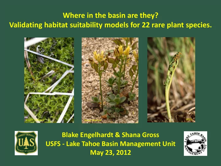
SLIDE 1 Where in the basin are they? Validating habitat suitability models for 22 rare plant species.
Stuart Osbrack USFS Steve Matson
Blake Engelhardt & Shana Gross USFS - Lake Tahoe Basin Management Unit May 23, 2012
SLIDE 2
Background
National forests are tasked with: 1) maintaining viable populations of TES species 2) preventing degradation of suitable habitat What constitutes suitable habitat? How much of it occurs on the landscape and where is it?
LTBMU
25 sensitive botanical species (19 vascular plants, 4 bryophytes, 1 lichen, 1 fungi) 2 candidate species: Rorippa subumbellata (Tahoe Yellowcress) Pinus albicaulis (Whitebark Pine)*
*Warranted but precluded from listing under ESA, July 2011
SLIDE 3 Binary GIS Models
- Species distribution predicted from environmental variables
- Classify landscape: suitable vs. non-suitable
- Model Builder: Boolean AND/OR analysis of various
environmental data (GIS layers) to determine suitable habitat
Products
- Total area of suitable habitat
- Spatial pattern/location of
suitable habitat
SLIDE 4
- 15 habitat models, cover 22 species total
- known or likely to occur in Lake Tahoe basin
Wet/Riparian
Botrychium spp. Bruchia bolanderi* Epilobium howellii Meesia spp./Helodium blandowii Peltigera hydrothyria*
Upland/Forested
Arabis rectissima v. simulans Arabis rigidissima v. demota Arabis tiehmii* Eriogonum umbellatum v. torreyanum* Hulsea brevifolia* Lewisia kelloggii*
Alpine
Draba asterophora v. asterophora Draba asterophora v. macrocarpa Draba-Union Lewisia longipetala
USFS
USFS
SLIDE 5
Example: Lewisia longipetala
General Criteria GIS Dataset Refined Criteria (AND)
Northerly Aspect Aspect 0-90°, 270-360° High Elevation Elevation >8300 ft Subalpine & Alpine Communities Potential Natural Vegetation TSME, TSME-ABMA, Rocky, Scree-subalpine/alpine Granitic soils Geology Igneous intrusive, and extrusive, sedimentary
SLIDE 6
Lewisia kelloggii (Kellogg’s Lewisia) Peltigera hydrotheria (Veined Water Lichen) Botrychium spp. (Moonwort complex) Draba asterophora v. asterophora (Tahoe Draba)
SLIDE 7
10000 20000 30000 40000 50000 60000 70000 80000 90000 ARRE ARRID ARTI BOTRY BRBO DRABA UNION DRASA DRASM EPHO ERUMT HUBR LEKE LELO MEESIA_HEBL PEHY Lake Tahoe Basin (hectares)
Predicted Area of Suitable Habitat w/in Lake Tahoe Basin (1 hectare = ~2.5 acres)
SLIDE 8 Field Validation
- 500m x 500m grid
- 100 randomly selected points
- 15 excluded (private property)
- 85 total points
- Field visit: presence/absence
- f suitable habitat & species
- 45 of 85 completed
2009- 9 points 2010- 4 points 2011- 32 points 2012- 40 points planned… any volunteers?!
SLIDE 9
45 Visited Points: Few points on North Shore All elevations All species
SLIDE 10
40 Remaining Points: Throughout the basin All elevations All species
SLIDE 11 Preliminary results: - 7 of 15 models had >90% accuracy
- mostly over-prediction
- all upland and alpine species
Species % Sites Habitat Predicted % Model Agreement % Over- predict % Under- predict Habitat Arabis tiehmii 2.2 100 Upland Draba-Union 3.1 97 3 Alpine Draba asterophora v. macrocarpa 13.3 96 4 Alpine Draba asterophora v. asterophora 15.6 93 7 Alpine Lewisia longipetala 15.6 93 7 Alpine Arabis rigidissima v. demota 57.8 91 9 Upland Eriogonum umbellatum
11.1 91 7 2 Upland
SLIDE 12 Preliminary results: - 4 of 15 models had 80-89% accuracy
- all over-predict, some under-prediction
- riparian and upland species
Species % Sites Habitat Predicted % Model Agreement % Over- predict % Under- predict Habitat Botrychium spp. 86.7 89 11 Wet/Riparian Arabis rectissima v. simulans 28.9 82 9 9 Upland Bruchia bolanderi 84.4 82 16 2 Wet/Riparian Hulsea brevifolia 62.2 80 20 Upland
SLIDE 13 Preliminary results: - 4 of 15 models had low (67-71%) accuracy
- most over-predict AND under-predict
- mostly riparian species
- missing some mesic habitats
Species % Sites Habitat Predicted % Model Agreement % Over- predict % Under- predict Habitat Peltigera hydrothyria 57.8 71 20 9 Wet/Riparian Lewisia kelloggii 73.3 69 29 2 Upland Epilobium howellii 48.9 67 4 29 Wet/Riparian Meesia spp. & Helodium blandowii 46.7 67 16 18 Wet/Riparian
SLIDE 14 What’s working…
- D. Taylor
- Elevation, aspect, slope, high
elevation forests (Draba, Lewisia)
- Conifer/forest types- generalists
(Arabis, Eriogonum)
- Larger areas of meadow and riparian
habitat
SLIDE 15 Scale
- understory layers, ground cover (e.g. thick
duff or bare ground)
- vegetation layer- small patches of riparian
vegetation, wet meadow, wet habitats
- forest openings, canopy cover
Other Challenges
- substrate within perennial streams, dry
gullies predicted as perennial streams
- species not known from LTBMU- less
information on suitable habitat
USFS USFS
SLIDE 16 Detection of 8 new occurrences of 3 sensitive species:
- 1. Botrychium crenulatum (BOCR2, BOCR3)
(South Lake Tahoe & Zephyr Cove)
- 2. Draba asterophora v. asterophora (DRASA 1p, 2n, 2o)
(Job’s Sister & Heavenly Ski Area)
- 3. Lewisia longipetala (LELO 4a, 4b, 4c)
(Jack’s Peak)
USFS USFS
SLIDE 17 Future Steps
- Equal effort: under-prediction vs. over-prediction
- Functionality of the model vs. true suitable habitat
detection
- Goal: 80% accuracy
- Pinus albicaulis: use TEUI layer? Existing Veg Map?
Remaining points?
- LIDAR & multispectral imagery? Maybe for trees
but not herbaceous species
SLIDE 18 Thanks to: Kurt Teuber, Kyle Christie, Cristina McKernan, Dionne Uzes,
Sean Glantz, Diku Sherpa, Katie Heard, Mike Jennings
USFS