
SLIDE 1
B Y : C A S S A N D R A R I V A S , O P H E L I A W A N G , A N D B O S T E V E N S N O R T H E R N A R I Z O N A U N I V E R S I T Y
Land Use Classification and Deforestation Detection in Southwestern - - PowerPoint PPT Presentation
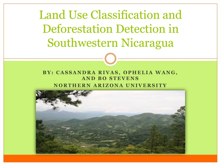
Land Use Classification and Deforestation Detection in Southwestern Nicaragua B Y : C A S S A N D R A R I V A S , O P H E L I A W A N G , A N D B O S T E V E N S N O R T H E R N A R I Z O N A U N I V E R S I T Y Introduction/Background
B Y : C A S S A N D R A R I V A S , O P H E L I A W A N G , A N D B O S T E V E N S N O R T H E R N A R I Z O N A U N I V E R S I T Y
Deforestation Fragmentation Environmental degradation
Sustainable conservation and restoration planning
(Map sources: ArcMap 10.1; Paso Pacifico.org)
Digitize roads and access
398 data points collected;
Imagery SPOT, collected Jan-Feb 2009 Classification Manual training polygons ENVI 4.7 RuleGen (Quest) Final Classes:
Accuracies and Kappa statistics
Land-use/cover classification
Post-classification change
Classification preparation for
change detection analysis
Plantation
Hotspots/cold spots of change
Cluster and Outlier Analysis
using Moran’s I
Neighborhood clustering score
76.16-95.63%
76.34 - 95.52 %
individual classes except for wetland-mixed and old regrowth are in strong agreement
10 20 30 40 50 60 Crop Pasture Regrowth Plantation Forest Change (%) Class Type
Forest Change
No Change
Northcentral part of the isthmus
last large tracks of forest occur despite rugged terrain
the rugged Pacific mountains
the intense topography
converted into another class and now regrowing
the north and in the agricultural lake side area
area where old secondary forest remain*
5 10 15 20 25 30 35 40 45 50 Crop Pasture Regrowth Plantation Forest Change (%) Class Type
Regrowth Change
No Change
and is prolific
this class in the area
in the north central region
southern part of the isthmus
near other older forest
despite rugged topography
50% of the secondary forest was converted into other classes Deforestation is still occurring at a high rate approximately
Regrowth is converted mainly to pasture (prevailing force) However, is also maturing into secondary forest (23%)
Cluster (hotspot/coldspot) analysis helped in defining specific areas of
change