
SLIDE 1
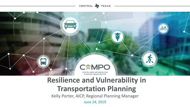
Resilience and Vulnerability in Transportation Planning
June 24, 2019
Resilience and Vulnerability in Transportation Planning Kelly - - PowerPoint PPT Presentation
Resilience and Vulnerability in Transportation Planning Kelly Porter, AICP, Regional Planning Manager June 24, 2019 What is the Capital Area MPO? 6 counties | 5,302 square miles 2 million people 12,420 lane miles of roads 44.6 millions
June 24, 2019
6 counties | 5,302 square miles 2 million people 12,420 lane miles of roads 44.6 millions miles traveled by vehicles daily 31.2 million transit boardings each year
Climate Related Risks
Key Infrastructure
Oak Creek
1. Ensure social equity 2. Support coordinated planning of land use and transportation 3. Increase safety and security of system 4. Maximize cost effectiveness 5. Maintain and enhance mobility & access 6. Improve connectivity 7. Maximize economy 8. Reduce project delays 9. Minimize negative impacts to environment, noise, and neighborhood character
transportation system
Develop a comprehensive, multimodal, regional transportation system that safely and efficiently addresses mobility needs
time, is economically viable, cost-effective and environmentally sustainable, supports regional quality of life, and promotes travel options.
Locally driven approach for long-term planning
PLATINUM PLANNING
The land suitability and vulnerability analysis will allow for the identification of areas that may be of concern when locating transportation projects and project selection.
Assessment of Environmental & Social Criteria for Development
Particularly relevant to infrastructure life-cycle costs
Vulnerability Measures:
Currently In Progress Improvements to: evacuation routes / system redundancy / roadway design and materials
DRAFT: These projections are not for distribution.
Includes Existing and Planned Routes with TIP Projects and Local Government Desires
CAMPO Gap Areas
Capital Area MPO identified gaps
No-Build Existing, plus committed
Network Lane Mileage VMT VHT
17,182 100.44 Million 2.93 Million Scenario Z: No-Build 17,182 57.64 Million 1.27 Million Baseline
Network Mph
34 41
Regional Connectors
17,182
Network Lane Mileage
19,976 100.44 Million
VMT
99.05 Million 2.93 Million
VHT
2.54 Million
Scenario Z: No-Build Scenario A: No-Build Network Mph
39 34
Non-Tolled Managed Lanes Change in person trips
45% 42% 35% 49%
Collection of Ideas
17,182
Network Lane Mileage
23,606 100.44 Million
VMT
97.60 Million 2.93 Million
VHT
2.35 Million
Scenario Z: No-Build Scenario C: Combined Ideas Network Mph
42 34
Regional Connectors and Supporting Connections Safety and Redundancy Segments Over .45 V/C
Supporting Connections
Adopted December 2018
Adopted December 2018
for drivers
responders and others
improvements
Adopted October 2017
Starting in 2019
To Ft. Worth To San Antonio
Regional connections throughout the region
Currently In Progress