SLIDE 1
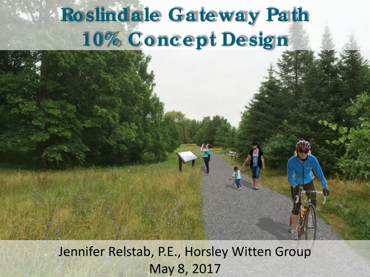
Jennifer Relstab, P.E., Horsley Witten Group May 8, 2017
Roslinda le Ga te wa y Pa th 10% Conc e pt De sig n
SLIDE 2
Project Partners + Funders Project Goals Site Assessments 10% Concept Design Design Options Next Steps
Presentation Outline
SLIDE 3
Project Partners
SLIDE 4
Project Funders
SLIDE 5
Project Orientation
SLIDE 6
Project Goals
A safer connection for cyclists and pedestrians
from Roslindale Village to the Arboretum
A link for underserved portions of Roslindale
to the Arboretum and the Village
A connection to the Blackwell Path Extension
(and the Southwest Corridor)
An opportunity to connect to the Arboretum
SLIDE 7
Path Safety
Several studies completed evaluated crime on
major paths in US
No increases on
crime due to paths
Crime present along
paths is often correlated with the amount of crime in neighboring area
SLIDE 8
Project Timeline
2015: Idea of Roslindale Gateway Path starts
to take shape
Early 2016: WalkUP partners with the
LivableStreets Alliance, the Emerald Network and Tufts Urban and Environmental Policy and Planning program
June 2016: HW teams with WalkUP Roslindale
and LivableStreets
SLIDE 9
Study Area
SLIDE 10
Site Walks
SLIDE 11
Survey of MBTA parcel
SLIDE 12
Summary of Concept
Provide 10 foot wide accessible shared pathway Connect Roslindale Village Commuter Rail Station
to the South St/ Archdale St underpass (Blackwell Path Extension)
Add gateways and signage for way finding and
education
Encourage a slightly sinuous path, but generally
follow existing desire lines (footpaths)
SLIDE 13
Section 1 – MBTA Parcel
SLIDE 14
Section 2 – Arboretum Parcel
SLIDE 15
Path Rendering
SLIDE 16 Gateway Options
Rendering developed by Halvorson Design Partnership
SLIDE 17
Signage Options
SLIDE 18 Material Options
Bituminous Concrete (Asphalt) Crushed Stone Dust Porous Asphalt
Other Options: Dense Graded Stone, Stabilized Soil
SLIDE 19 Lighting Options
Solar LED Bollards Photoluminescent Stones
Other Options: Bollards (with conduit), In Grade Solar
SLIDE 20 South St. Connection Options
Other Options: Grade to street elevation (i.e., no stairs)
SLIDE 21
Next Steps
Funding for Design Development Discussions with stakeholders on key issues
MBTA parcel Drainage swale crossing (BWSC, MWRA) South Street crossing (BTD) Long-term maintenance (Parks)
Gathering support!
SLIDE 22 Jennifer Relstab, P.E. Water Resources Engineer, Horsley Witten Group
F
- llow upda te s a t Wa lkUP Roslinda le ’s we bsite:
http:/ / wa lkuproslinda le .org / g a te wa y