
SLIDE 1
Schoharie Creek at Prattsville, NY
James G. MacBroom, P.E. January 30, 2012 On Behalf of NYDEP
Schoharie Creek at Prattsville, NY James G. MacBroom, P.E. January - - PowerPoint PPT Presentation
Schoharie Creek at Prattsville, NY James G. MacBroom, P.E. January 30, 2012 On Behalf of NYDEP Watershed Characteristics 237 sq. miles steep forest lands narrow valleys slightly sinuous gravel bed semi-confined with alternating
James G. MacBroom, P.E. January 30, 2012 On Behalf of NYDEP
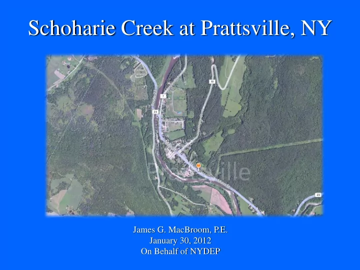
Schoharie Creek Floodplain Downtown Prattsville Rte 23 Bridge Batavia Kill Flow Direction
Bridge Opening 6 Ft High by 52 Ft Wide Waterway Area is 312 Sq Ft Single Span, no piers Base Flood is 2100 CFS Gross Velocity is 7 FPS Measured Channel Width is 36 Ft Regional Bankfull Width is 42 Ft Conclusion; Bridge Size is Reasonable
4000 6000 8000 10000 12000 14000 16000 18000 1120 1130 1140 1150 1160 1170
Schoharie Creek Prattsville Plan: Ex Short MMI Bankfull 12/2/2011
Geom: Ex Short FEMA MMI Channel Geometry Flow: FEMA Bankfull (short) Discharges Milone & MacBroom Inc for NYDEP Main Channel Distance (ft) Elevation (ft) Legend WS 500 yr WS 100 yr WS 50 yr WS 10 yr Ground 3315 3620 3925 4226 4532 4841 5148 5362 5670 5980 6283 6587 6846 7152 7460 7769 8076 8382 8683 8984 9284 9504 FEMA C 9804 10116 10328 10643 11000 11309 11611 11915 12218 12519 12747 13050 Prattsville Cen 13350 13655 13963 14267 14573 14877 15090 FEMA E 15331 Fish Block Weir 15495 15801 16101 16344 16650 16955 17261 17563 17866 R1 R1
Fish Weir Main Street Profile Similar to 50 yr flood Potential River Bed Elevation Rte 23 Bridge impact
200 400 600 800 1000 1200 1400 1600 1130 1140 1150 1160 1170 1180 1190 1200 1210
Schoharie Creek Prattsville Plan: Ex Short MMI Bankfull 12/2/2011
Geom: Ex Short FEMA MMI Channel Geometry Flow: FEMA Bankfull (short) Discharges River = R1 Reach = R1 RS = 12594 FEMA D 12594.15 2.40141 Milone & MacBroom Inc for NYDEP Station (ft) Elevation (ft) Legend WS 500 yr WS 100 yr WS 50 yr WS 10 yr Ground Ineff Bank Sta .2 .102 . 5 5 .036 . 6 .1 .2
500 yr flood 100 yr flood 50 yr flood 10 yr flood stays in banks Main Street FEMA model assumed Floodplain “turned off” Bankfull flow elevation, below top of berm Correct ~230ft bankfull width Lower floodplain Terrace at 50 year flood level
5000 10000 15000 20000 25000 30000 4000 6000 8000 10000 12000 14000 16000
Schoharie Creek Prattsville Plan: Ex Short MMI 11/30/2011
Geom: Ex Short FEMA MMI Channel Geometry Flow: FEMA (Short Geo) Discharges Milone & MacBroom Inc for NYDEP Main Channel Distance (ft) Area (sq ft) Legend Area 100 yr R1 R1
200 400 600 800 1000 1200 1400 1600 1130 1140 1150 1160 1170 1180 1190 1200 1210
Schoharie Creek Prattsville Plan: D. MMI smooth no encroachments 12/2/2011
Geom: Alt Short smooth del encroahments Flow: FEMA (Short Geo) Discharges River = R1 Reach = R1 RS = 12594 FEMA D 12594.15 2.40141 Milone & MacBroom Inc for NYDEP Station (ft) Elevation (ft) Legend WS 500 yr WS 100 yr WS 50 yr WS 10 yr Ground Bank Sta .2 .102 . 5 5 .036 . 6 .06 .2
500 yr flood 100 yr flood 50 yr flood 10 yr flood just below top of banks 100 yr flood inundates most of valley bottom
200 400 600 800 1000 1200 1400 1600 1130 1140 1150 1160 1170 1180 1190 1200 1210
Schoharie Creek Prattsville Plan: 1) Plan 01 11/30/2011 2) A. no bridge 12/2/2011 3) B. No Encroach 12/2/2011 4) C. no brid, encr 12/2/2011 5) D. Smooth, no En 12/2/2011
Geom: Ex Short FEMA MMI Channel Geometry Flow: FEMA (Short Geo) Discharges River = R1 Reach = R1 RS = 12594 FEMA D 12594.15 2.40141 Milone & MacBroom Inc for NYDEP Station (ft) Elevation (ft) Legend WS 100 yr - Plan 01 WS 100 yr - A. no bridge WS 100 yr - C. no brid, encr WS 100 yr - B. No Encroach WS 100 yr - D. Smooth, no En Ground Bank Sta .2 . 1 2 . 5 5 .036 . 6 .1 .2
Impact of initial alternatives, 100 yr flood
Main Street
200 400 600 800 1000 1200 1400 1600 1800 1130 1140 1150 1160 1170 1180 1190 1200
Schoharie Creek Prattsville Plan: 1) Plan 01 11/30/2011 2) A. no bridge 12/2/2011 3) B. No Encroach 12/2/2011 4) C. no brid, encr 12/2/2011 5) D. Smooth, no En 12/2/2011
Geom: Ex Short FEMA MMI Channel Geometry Flow: FEMA (Short Geo) Discharges River = R1 Reach = R1 RS = 13050 Prattsville Cen 13049.80 2.48771 Milone & MacBroom Inc for NYDEP Station (ft) Elevation (ft) Legend WS 100 yr - Plan 01 WS 100 yr - A. no bridge WS 100 yr - C. no brid, encr WS 100 yr - B. No Encroach WS 100 yr - D. Smooth, no En Ground Bank Sta .149 .095 . 6 .036 . 5 5 .095 .156
Impact of initial alternatives, 100 yr flood
6000 8000 10000 12000 14000 16000 18000 1110 1120 1130 1140 1150 1160 1170
Schoharie Creek Prattsville Plan: 1) Plan 01 11/30/2011 2) A. no bridge 12/2/2011 3) B. No Encroach 12/2/2011 4) C. no brid, encr 12/2/2011 5) D. Smooth, no En 12/2/2011
Geom: Ex Short FEMA MMI Channel Geometry Flow: FEMA (Short Geo) Discharges Milone & MacBroom Inc for NYDEP Main Channel Distance (ft) Elevation (ft) Legend WS 100 yr - Plan 01 WS 100 yr - A. no bridge WS 100 yr - B. No Encroach WS 100 yr - C. no brid, encr WS 100 yr - D. Smooth, no En Ground 4377 4686 4994 5208 5516 5825 6131 6436 6695 FEMA B 7001 7306 7614 7923 8231 8532 8833 9134 9438 9654 10116 10328 10643 11000 11309 11611 11915 12218 12519 12747 13050 Prattsville Cen 13350 13655 13963 14267 14573 14877 15090 FEMA E 15331 Fish Block Weir 15650 15953 16253 16496 16802 17107 17412 17717 18019 18324 18618 18923 Batavia Kill R1 R1
Impact of initial alternatives, 100 yr flood
Fish Weir